Latitude: 53.1949 / 53°11'41"N
Longitude: -4.3632 / 4°21'47"W
OS Eastings: 242225
OS Northings: 369029
OS Grid: SH422690
Mapcode National: GBR 5D.2NLD
Mapcode Global: WH42Z.YYGM
Pluscode: 9C5Q5JVP+XP
What3Words: eased.gent.decay
Is the location marker in the wrong place? You can help fix that!
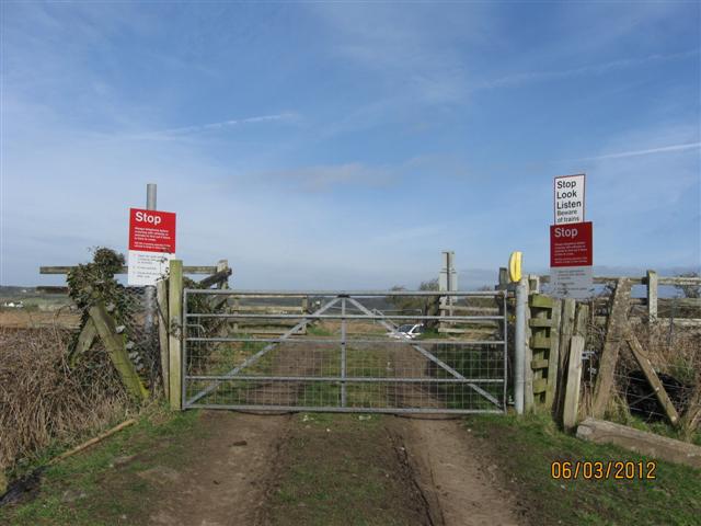
We don't yet have any user-contributed photos of Tyddyn Morfa Level Crossing.