Latitude: 51.1401 / 51°8'24"N
Longitude: -2.0232 / 2°1'23"W
OS Eastings: 398471
OS Northings: 137874
OS Grid: ST984378
Mapcode National: GBR 2XH.K94
Mapcode Global: VHB5D.WL8T
Pluscode: 9C3V4XRG+3P
What3Words: offstage.bake.purified
Is the location marker in the wrong place? You can help fix that!
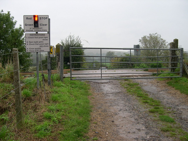
We don't yet have any user-contributed photos of Tyning Level Crossing.