Latitude: 53.2481 / 53°14'53"N
Longitude: -4.5227 / 4°31'21"W
OS Eastings: 231782
OS Northings: 375309
OS Grid: SH317753
Mapcode National: GBR HN63.P2N
Mapcode Global: WH42Q.HMKB
Pluscode: 9C5Q6FXG+6W
What3Words: landowner.residual.apart
Is the location marker in the wrong place? You can help fix that!
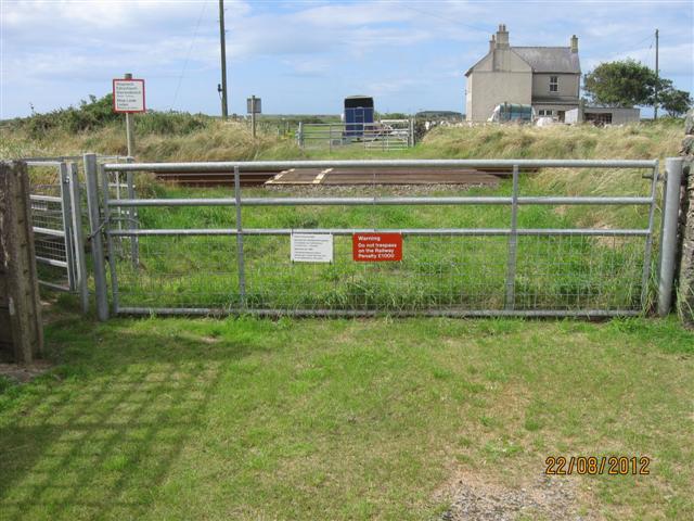
We don't yet have any user-contributed photos of Tywyn Trewan Sands Level Crossing.