Latitude: 55.2051 / 55°12'18"N
Longitude: -1.6257 / 1°37'32"W
OS Eastings: 423916
OS Northings: 590157
OS Grid: NZ239901
Mapcode National: GBR K827.TX
Mapcode Global: WHC2L.0F3K
Pluscode: 9C7W694F+2P
What3Words: traps.staples.highbrow
Is the location marker in the wrong place? You can help fix that!
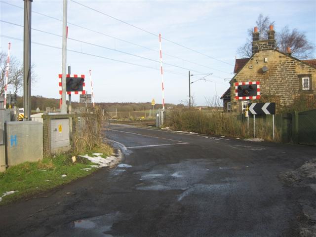
We don't yet have any user-contributed photos of Ulgham Lane Level Crossing.