Latitude: 54.9803 / 54°58'49"N
Longitude: -2.6055 / 2°36'19"W
OS Eastings: 361347
OS Northings: 565249
OS Grid: NY613652
Mapcode National: GBR BB7V.QH
Mapcode Global: WH90Z.Y2GT
Pluscode: 9C6VX9JV+4R
What3Words: ratio.unusually.partners
Is the location marker in the wrong place? You can help fix that!
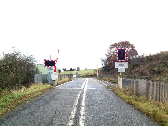
We don't yet have any user-contributed photos of Upper Denton Level Crossing.