Latitude: 51.81 / 51°48'36"N
Longitude: -0.9912 / 0°59'28"W
OS Eastings: 469645
OS Northings: 212857
OS Grid: SP696128
Mapcode National: GBR B01.G72
Mapcode Global: VHDV1.RRVT
Pluscode: 9C3XR265+2G
What3Words: recital.caravans.eruptions
Is the location marker in the wrong place? You can help fix that!
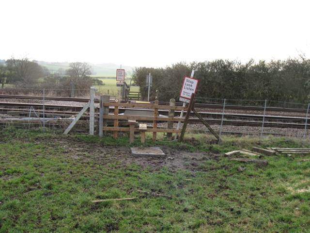
We don't yet have any user-contributed photos of Valley Farm Level Crossing.