Latitude: 50.8825 / 50°52'56"N
Longitude: -1.4418 / 1°26'30"W
OS Eastings: 439361
OS Northings: 109371
OS Grid: SU393093
Mapcode National: GBR 76P.N8V
Mapcode Global: FRA 76WR.S4Q
Pluscode: 9C2WVHJ5+X7
What3Words: plots.shelf.peanut
Is the location marker in the wrong place? You can help fix that!
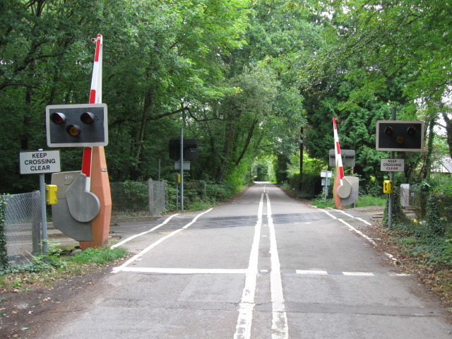
We don't yet have any user-contributed photos of Veals Lane Level Crossing.