Latitude: 51.3311 / 51°19'51"N
Longitude: 1.2879 / 1°17'16"E
OS Eastings: 629140
OS Northings: 164244
OS Grid: TR291642
Mapcode National: GBR VZ3.GFQ
Mapcode Global: VHLGC.8SQY
Pluscode: 9F3387JQ+C5
What3Words: flamingo.thrones.drove
Is the location marker in the wrong place? You can help fix that!
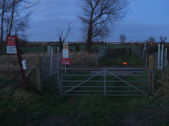
We don't yet have any user-contributed photos of Walters Hall Level Crossing.