Latitude: 50.8535 / 50°51'12"N
Longitude: -0.9677 / 0°58'3"W
OS Eastings: 472763
OS Northings: 106508
OS Grid: SU727065
Mapcode National: GBR CF0.G5L
Mapcode Global: FRA 86VV.BT8
Pluscode: 9C2XV23J+CW
What3Words: beard.starts.audit
Is the location marker in the wrong place? You can help fix that!
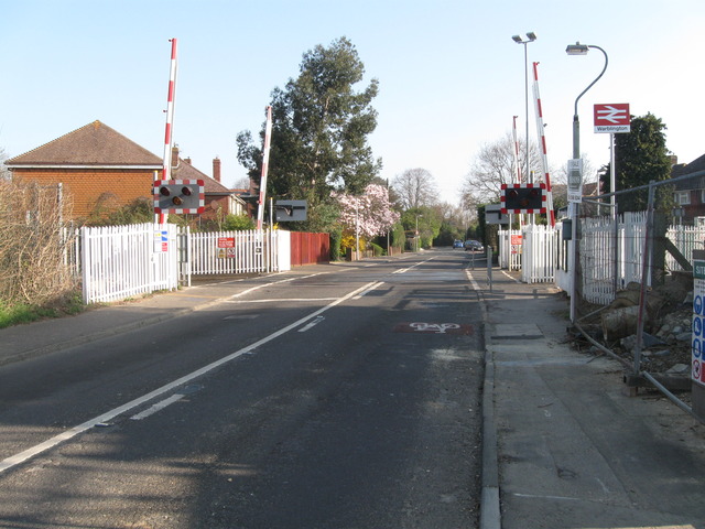
We don't yet have any user-contributed photos of Warblington Level Crossing.