Latitude: 52.7876 / 52°47'15"N
Longitude: -2.8281 / 2°49'41"W
OS Eastings: 344250
OS Northings: 321430
OS Grid: SJ442214
Mapcode National: GBR 7D.XHJS
Mapcode Global: WH8BD.J6JB
Pluscode: 9C4VQ5QC+2Q
What3Words: january.imprints.dizziness
Is the location marker in the wrong place? You can help fix that!
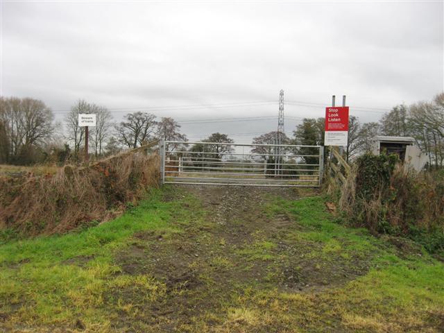
We don't yet have any user-contributed photos of Warbrook Level Crossing.