Latitude: 57.641 / 57°38'27"N
Longitude: -3.4241 / 3°25'26"W
OS Eastings: 315084
OS Northings: 862124
OS Grid: NJ150621
Mapcode National: GBR K8XJ.G71
Mapcode Global: WH6JC.C6QN
Pluscode: 9C9RJHRG+C9
What3Words: heavy.sorry.ivory
Is the location marker in the wrong place? You can help fix that!
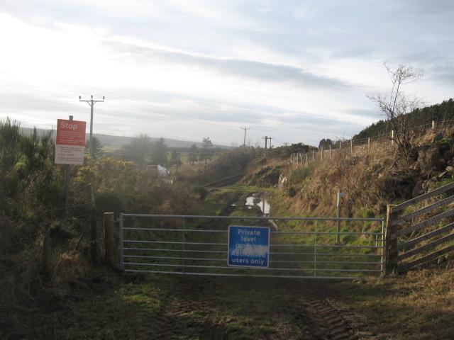
We don't yet have any user-contributed photos of Wards Level Crossing.