Latitude: 53.2377 / 53°14'15"N
Longitude: -2.609 / 2°36'32"W
OS Eastings: 359452
OS Northings: 371354
OS Grid: SJ594713
Mapcode National: GBR 7P.02R5
Mapcode Global: WH999.WWT9
Pluscode: 9C5V69QR+3C
What3Words: outermost.nosedive.sprinkle
Is the location marker in the wrong place? You can help fix that!
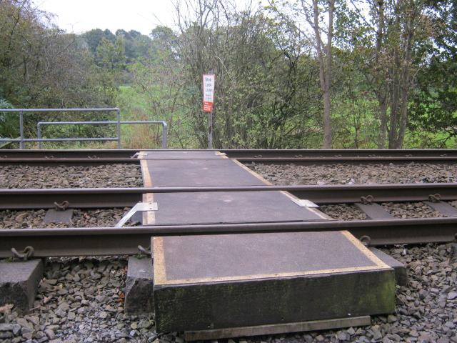
We don't yet have any user-contributed photos of Waste Lane Level Crossing.