Latitude: 50.6729 / 50°40'22"N
Longitude: -3.448 / 3°26'52"W
OS Eastings: 297775
OS Northings: 86919
OS Grid: SX977869
Mapcode National: GBR P3.4BCG
Mapcode Global: FRA 37N9.BJB
Pluscode: 9C2RMHF2+5Q
What3Words: casually.origin.protected
Is the location marker in the wrong place? You can help fix that!
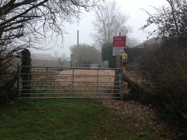
We don't yet have any user-contributed photos of Water Lane Level Crossing.