Latitude: 51.1758 / 51°10'32"N
Longitude: -0.3265 / 0°19'35"W
OS Eastings: 517082
OS Northings: 143172
OS Grid: TQ170431
Mapcode National: GBR HH9.88W
Mapcode Global: VHGSF.9P8Z
Pluscode: 9C3X5MGF+8C
What3Words: sooner.trade.silk
Is the location marker in the wrong place? You can help fix that!
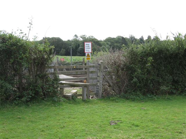
We don't yet have any user-contributed photos of Watneys Level Crossing.