Latitude: 51.778 / 51°46'40"N
Longitude: -0.7724 / 0°46'20"W
OS Eastings: 484787
OS Northings: 209531
OS Grid: SP847095
Mapcode National: GBR D3C.HJZ
Mapcode Global: VHDVC.KKHT
Pluscode: 9C3XQ6HH+62
What3Words: rationing.shed.emailed
Is the location marker in the wrong place? You can help fix that!
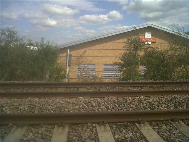
We don't yet have any user-contributed photos of Wendover No.4 Level Crossing.