Latitude: 52.3331 / 52°19'59"N
Longitude: 1.5112 / 1°30'40"E
OS Eastings: 639316
OS Northings: 276363
OS Grid: TM393763
Mapcode National: GBR XNV.QW0
Mapcode Global: VHM73.4MR9
Pluscode: 9F438GM6+6F
What3Words: flagpole.pokers.quaking
Is the location marker in the wrong place? You can help fix that!
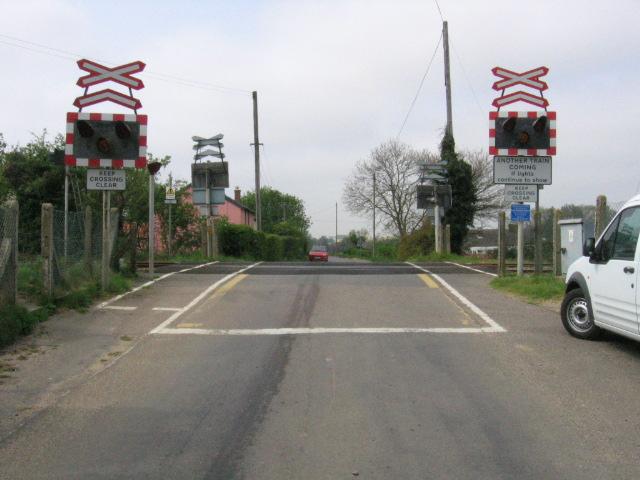
We don't yet have any user-contributed photos of Wenhaston Level Crossing.