Latitude: 54.188 / 54°11'16"N
Longitude: -0.5893 / 0°35'21"W
OS Eastings: 492149
OS Northings: 477832
OS Grid: SE921778
Mapcode National: GBR SNB0.6H
Mapcode Global: WHGC9.XZJS
Pluscode: 9C6X5CQ6+57
What3Words: examiner.spit.etchings
Is the location marker in the wrong place? You can help fix that!
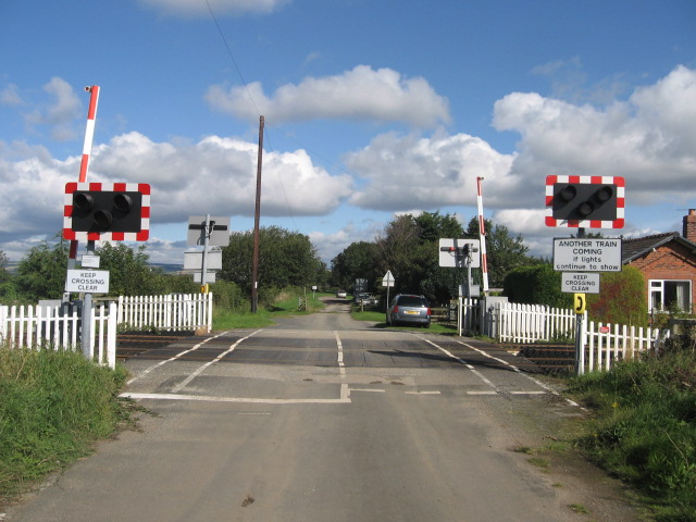
We don't yet have any user-contributed photos of West Heslerton Level Crossing.