Latitude: 55.2541 / 55°15'14"N
Longitude: -1.6471 / 1°38'49"W
OS Eastings: 422530
OS Northings: 595604
OS Grid: NZ225956
Mapcode National: GBR J7YP.6C
Mapcode Global: WHC2C.N6WG
Pluscode: 9C7W7933+J5
What3Words: inspects.rewrites.pencil
Is the location marker in the wrong place? You can help fix that!
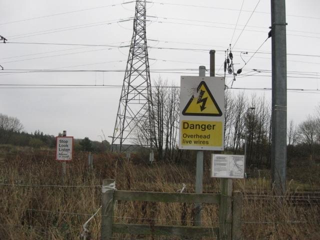
We don't yet have any user-contributed photos of West Stobswood Level Crossing.