Latitude: 53.0139 / 53°0'50"N
Longitude: -0.696 / 0°41'45"W
OS Eastings: 487581
OS Northings: 347086
OS Grid: SK875470
Mapcode National: GBR CMK.4TH
Mapcode Global: WHGK2.8HTT
Pluscode: 9C5X2873+HJ
What3Words: clearing.clubbing.wove
Is the location marker in the wrong place? You can help fix that!
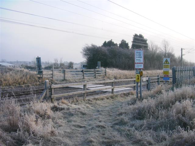
We don't yet have any user-contributed photos of Westborough Level Crossing.