Latitude: 52.6903 / 52°41'25"N
Longitude: -2.9449 / 2°56'41"W
OS Eastings: 336227
OS Northings: 310714
OS Grid: SJ362107
Mapcode National: GBR B8.3PMR
Mapcode Global: WH8BQ.QMVW
Pluscode: 9C4VM3R4+42
What3Words: snapper.lollipop.muted
Is the location marker in the wrong place? You can help fix that!
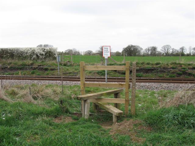
We don't yet have any user-contributed photos of Westbury Down Distant 1 Level Crossing.