Latitude: 54.8873 / 54°53'14"N
Longitude: -2.8474 / 2°50'50"W
OS Eastings: 345736
OS Northings: 555057
OS Grid: NY457550
Mapcode National: GBR 8CKX.BT
Mapcode Global: WH804.7FB5
Pluscode: 9C6VV5P3+W2
What3Words: earphones.outsiders.grumbling
Is the location marker in the wrong place? You can help fix that!
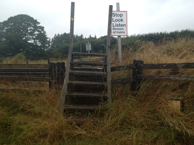
We don't yet have any user-contributed photos of Wetherall Cutting Level Crossing.