Latitude: 53.0825 / 53°4'56"N
Longitude: -1.5026 / 1°30'9"W
OS Eastings: 433412
OS Northings: 354032
OS Grid: SK334540
Mapcode National: GBR 6BW.QXC
Mapcode Global: WHCDW.WSM8
Pluscode: 9C5W3FJW+XW
What3Words: decks.somewhere.closes
Is the location marker in the wrong place? You can help fix that!
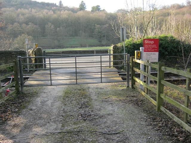
We don't yet have any user-contributed photos of Whatstandwell Level Crossing.