Latitude: 50.5079 / 50°30'28"N
Longitude: -4.2188 / 4°13'7"W
OS Eastings: 242764
OS Northings: 69924
OS Grid: SX427699
Mapcode National: GBR NS.K86F
Mapcode Global: FRA 271Q.B78
Pluscode: 9C2QGQ5J+5F
What3Words: saddens.contour.hems
Is the location marker in the wrong place? You can help fix that!
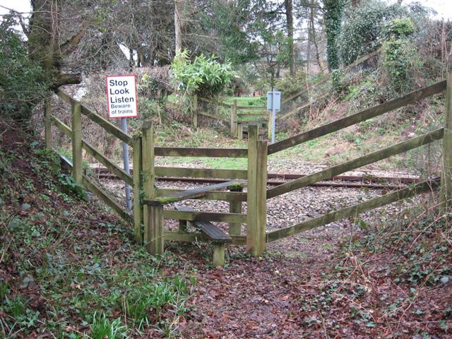
We don't yet have any user-contributed photos of Wheal Edward Level Crossing.