Latitude: 51.0759 / 51°4'33"N
Longitude: -2.5989 / 2°35'56"W
OS Eastings: 358138
OS Northings: 130901
OS Grid: ST581309
Mapcode National: GBR MQ.DHCM
Mapcode Global: FRA 56F8.RBT
Pluscode: 9C3V3CG2+9C
What3Words: iteration.amaze.develop
Is the location marker in the wrong place? You can help fix that!
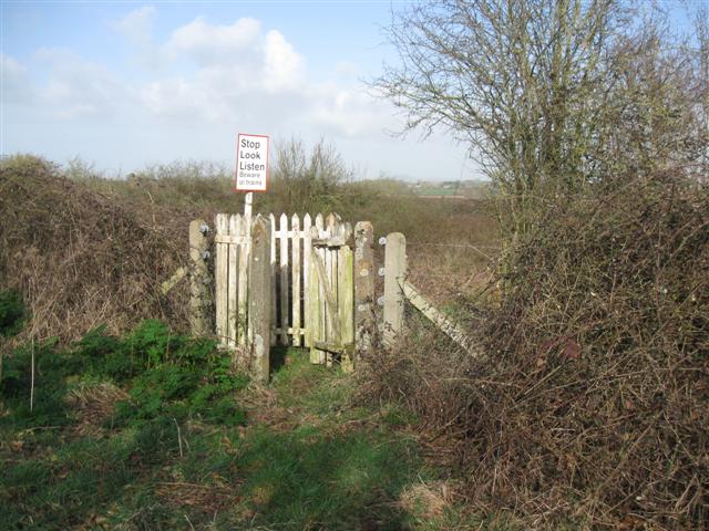
We don't yet have any user-contributed photos of Wheathill Level Crossing.