Latitude: 53.2305 / 53°13'49"N
Longitude: -4.0478 / 4°2'51"W
OS Eastings: 263407
OS Northings: 372343
OS Grid: SH634723
Mapcode National: GBR 5T.0F73
Mapcode Global: WH548.S2P7
Pluscode: 9C5Q6XJ2+6V
What3Words: atlas.prominent.danger
Is the location marker in the wrong place? You can help fix that!
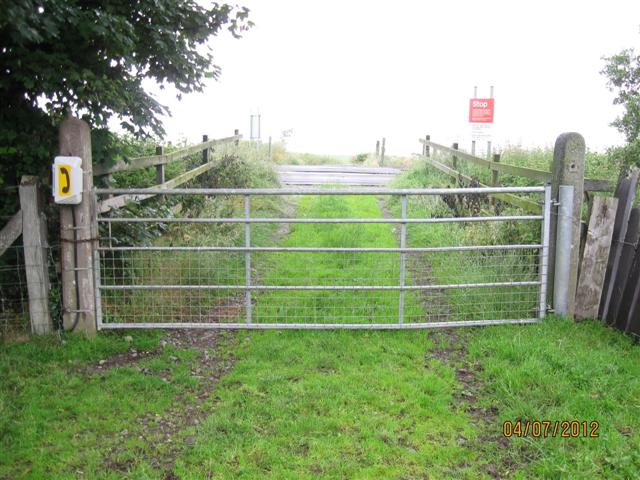
We don't yet have any user-contributed photos of Wig Farm Level Crossing.