Latitude: 52.6908 / 52°41'26"N
Longitude: -2.8986 / 2°53'55"W
OS Eastings: 339358
OS Northings: 310723
OS Grid: SJ393107
Mapcode National: GBR BB.3H21
Mapcode Global: WH8BR.FMYJ
Pluscode: 9C4VM4R2+8H
What3Words: thing.proclaims.friend
Is the location marker in the wrong place? You can help fix that!
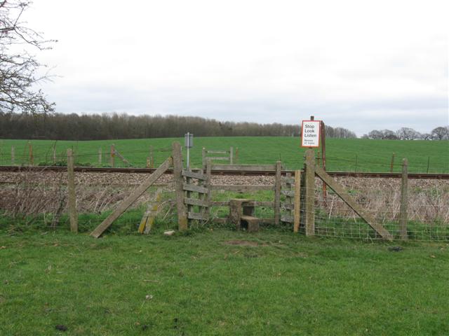
We don't yet have any user-contributed photos of Williams Level Crossing.