Latitude: 51.2376 / 51°14'15"N
Longitude: 0.4125 / 0°24'45"E
OS Eastings: 568508
OS Northings: 151481
OS Grid: TQ685514
Mapcode National: GBR NQ4.944
Mapcode Global: VHJMK.35F2
Pluscode: 9F326CQ7+32
What3Words: straddled.sponge.stick
Is the location marker in the wrong place? You can help fix that!
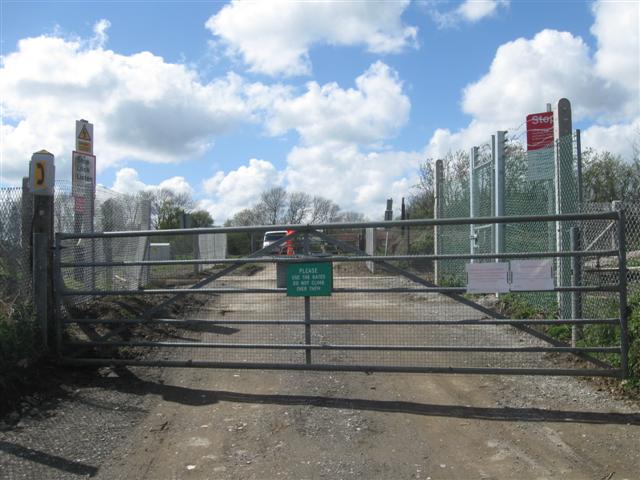
We don't yet have any user-contributed photos of Wilson Level Crossing.