Latitude: 52.7865 / 52°47'11"N
Longitude: -0.159 / 0°9'32"W
OS Eastings: 524251
OS Northings: 322578
OS Grid: TF242225
Mapcode National: GBR HX9.8M7
Mapcode Global: WHHMM.J7H4
Pluscode: 9C4XQRPR+H9
What3Words: potato.fish.famed
Is the location marker in the wrong place? You can help fix that!
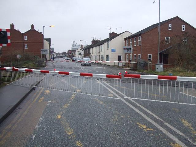
We don't yet have any user-contributed photos of Winsover Road Level Crossing.