Latitude: 53.5307 / 53°31'50"N
Longitude: -2.6835 / 2°41'0"W
OS Eastings: 354791
OS Northings: 404003
OS Grid: SD547040
Mapcode National: GBR 9WPM.T1
Mapcode Global: WH86S.RJB4
Pluscode: 9C5VG8J8+7J
What3Words: regulate.backfired.guessing
Is the location marker in the wrong place? You can help fix that!
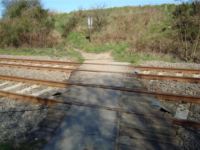
We don't yet have any user-contributed photos of Winstanley Level Crossing.