Latitude: 52.5113 / 52°30'40"N
Longitude: -2.8256 / 2°49'32"W
OS Eastings: 344065
OS Northings: 290698
OS Grid: SO440906
Mapcode National: GBR BF.GWKD
Mapcode Global: VH760.Z42P
Pluscode: 9C4VG56F+GQ
What3Words: crest.mailings.skirt
Is the location marker in the wrong place? You can help fix that!
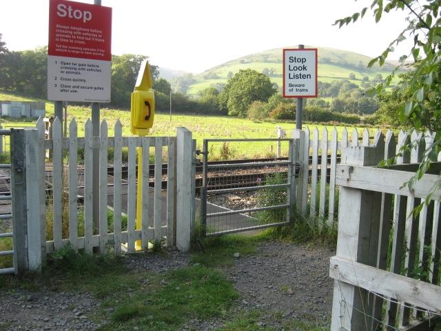
We don't yet have any user-contributed photos of Woodlands Level Crossing.