Latitude: 51.2738 / 51°16'25"N
Longitude: 1.335 / 1°20'6"E
OS Eastings: 632712
OS Northings: 158018
OS Grid: TR327580
Mapcode National: GBR X18.2CD
Mapcode Global: VHLGS.374W
Pluscode: 9F3378FP+G2
What3Words: jots.rungs.contents
Is the location marker in the wrong place? You can help fix that!
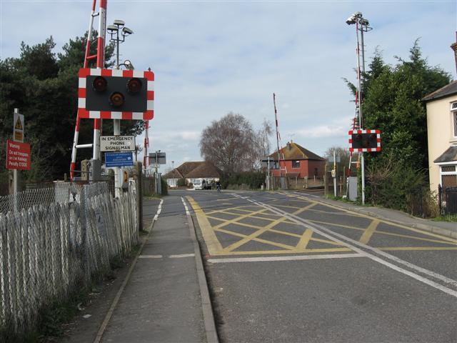
We don't yet have any user-contributed photos of Woodnesborough Level Crossing.