Latitude: 52.3994 / 52°23'57"N
Longitude: -2.7798 / 2°46'47"W
OS Eastings: 347038
OS Northings: 278219
OS Grid: SO470782
Mapcode National: GBR BH.PVQX
Mapcode Global: VH76F.RYSH
Pluscode: 9C4V96XC+Q3
What3Words: commit.decorator.bliss
Is the location marker in the wrong place? You can help fix that!
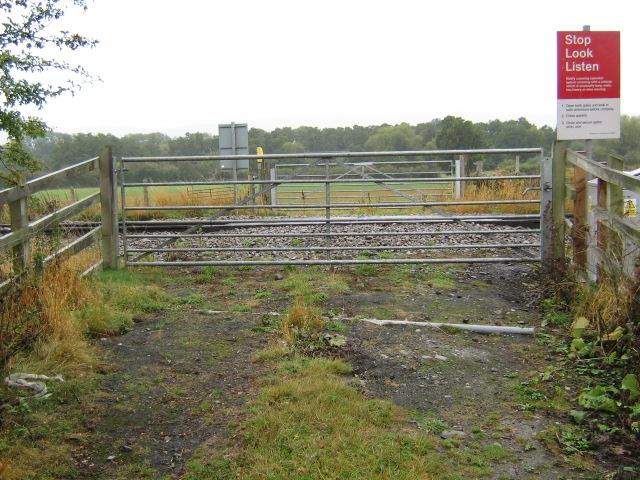
We don't yet have any user-contributed photos of Wootton Farm Level Crossing.