Latitude: 53.0193 / 53°1'9"N
Longitude: -2.5962 / 2°35'46"W
OS Eastings: 360103
OS Northings: 347050
OS Grid: SJ601470
Mapcode National: GBR 7P.FZV1
Mapcode Global: WH9BH.2CZQ
Pluscode: 9C5V2C93+PG
What3Words: agency.contour.mountains
Is the location marker in the wrong place? You can help fix that!
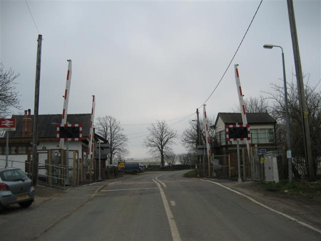
We don't yet have any user-contributed photos of Wrenbury Level Crossing.