Latitude: 52.2866 / 52°17'11"N
Longitude: -2.1059 / 2°6'21"W
OS Eastings: 392871
OS Northings: 265388
OS Grid: SO928653
Mapcode National: GBR 2GG.ND8
Mapcode Global: VH929.GS1G
Pluscode: 9C4V7VPV+JJ
What3Words: skies.lows.being
Is the location marker in the wrong place? You can help fix that!
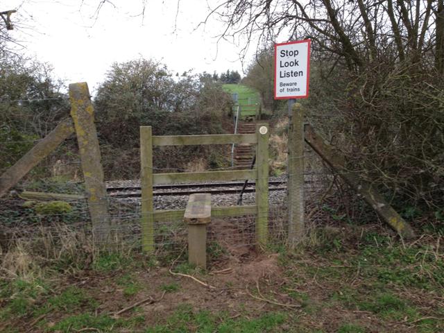
We don't yet have any user-contributed photos of Wychbold Level Crossing.