Latitude: 51.8078 / 51°48'27"N
Longitude: -1.2979 / 1°17'52"W
OS Eastings: 448504
OS Northings: 212358
OS Grid: SP485123
Mapcode National: GBR 7WZ.NP1
Mapcode Global: VHCXF.GT6J
Pluscode: 9C3WRP52+4R
What3Words: slopes.attending.ambient
Is the location marker in the wrong place? You can help fix that!
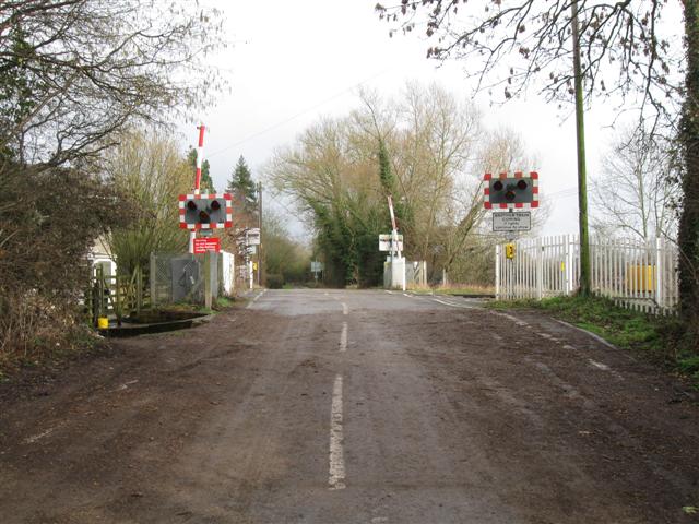
We don't yet have any user-contributed photos of Yarnton Lane Level Crossing.