Latitude: 53.023 / 53°1'22"N
Longitude: -2.59 / 2°35'24"W
OS Eastings: 360519
OS Northings: 347460
OS Grid: SJ605474
Mapcode National: GBR 7Q.FMBZ
Mapcode Global: WH9BH.58XV
Pluscode: 9C5V2CF5+5X
What3Words: tilts.busy.departure
Is the location marker in the wrong place? You can help fix that!
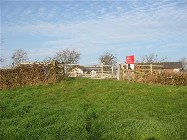
We don't yet have any user-contributed photos of Youngs Farm Level Crossing.