Latitude: 52.5816 / 52°34'53"N
Longitude: -3.579 / 3°34'44"W
OS Eastings: 293106
OS Northings: 299371
OS Grid: SN931993
Mapcode National: GBR 9F.BHGL
Mapcode Global: WH68Q.ZCWQ
Pluscode: 9C4RHCJC+J9
What3Words: giving.inspects.happier
Is the location marker in the wrong place? You can help fix that!
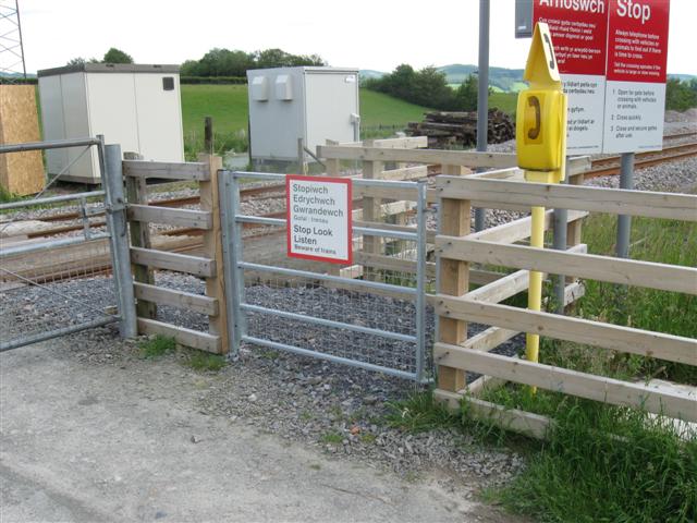
We don't yet have any user-contributed photos of Ystrad Fawr Level Crossing.