Latitude: 56.8291 / 56°49'44"N
Longitude: -2.4786 / 2°28'43"W
OS Eastings: 370888
OS Northings: 770948
OS Grid: NO708709
Mapcode National: GBR X4.SH0T
Mapcode Global: WH8QY.WMW3
Pluscode: 9C8VRGHC+JG
What3Words: cropping.spins.wiping
Is the location marker in the wrong place? You can help fix that!
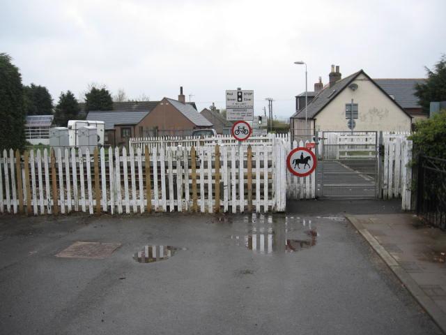
We don't yet have any user-contributed photos of Back Settlement Level Crossing.