


Latitude: 54.1073 / 54°6'26"N
Longitude: -2.7974 / 2°47'50"W
OS Eastings: 347962
OS Northings: 468224
OS Grid: SD479682
Mapcode National: GBR 8NXY.5F
Mapcode Global: WH841.0164
Pluscode: 9C6V4643+W2
What3Words: freely.caramel.topical
Is the location marker in the wrong place? You can help fix that!
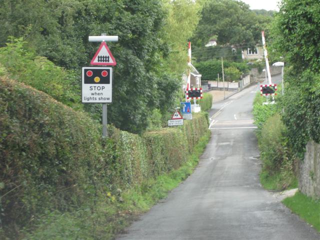
We don't yet have any user-contributed photos of Bolton-le-sands Level Crossing.