Latitude: 54.8542 / 54°51'15"N
Longitude: -2.8222 / 2°49'19"W
OS Eastings: 347310
OS Northings: 551354
OS Grid: NY473513
Mapcode National: GBR 8DQ9.SP
Mapcode Global: WH80B.M891
Pluscode: 9C6VV53H+M4
What3Words: gathering.release.last
Is the location marker in the wrong place? You can help fix that!
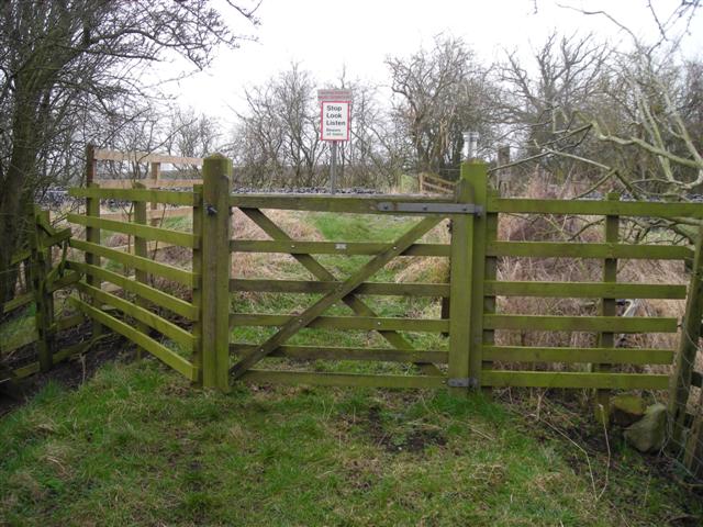
We don't yet have any user-contributed photos of Brindle Road Level Crossing.