Latitude: 57.5933 / 57°35'35"N
Longitude: -3.7113 / 3°42'40"W
OS Eastings: 297803
OS Northings: 857212
OS Grid: NH978572
Mapcode National: GBR K86N.8NR
Mapcode Global: WH5H8.YDWQ
Pluscode: 9C9RH7VQ+8F
What3Words: political.plates.cyclones
Is the location marker in the wrong place? You can help fix that!
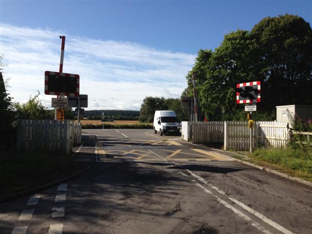
We don't yet have any user-contributed photos of Brodie Level Crossing.