Latitude: 53.2341 / 53°14'2"N
Longitude: -2.4771 / 2°28'37"W
OS Eastings: 368251
OS Northings: 370886
OS Grid: SJ682708
Mapcode National: GBR 7V.0BTK
Mapcode Global: WH99C.XZL2
Pluscode: 9C5V6GMF+J5
What3Words: outright.snowboard.promises
Is the location marker in the wrong place? You can help fix that!
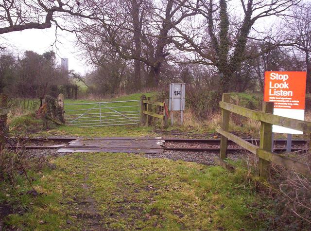
We don't yet have any user-contributed photos of Broom Farm Level Crossing.