Latitude: 54.3565 / 54°21'23"N
Longitude: -2.7688 / 2°46'7"W
OS Eastings: 350130
OS Northings: 495936
OS Grid: SD501959
Mapcode National: GBR 9L32.B2
Mapcode Global: WH82P.FRQL
Pluscode: 9C6V964J+JF
What3Words: foresight.flood.chart
Is the location marker in the wrong place? You can help fix that!
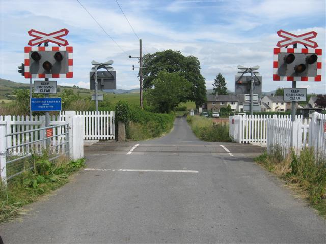
We don't yet have any user-contributed photos of Burneside Lower Level Crossing.