Latitude: 52.3625 / 52°21'45"N
Longitude: -3.1053 / 3°6'18"W
OS Eastings: 324832
OS Northings: 274402
OS Grid: SO248744
Mapcode National: GBR B2.S64V
Mapcode Global: VH76G.4W68
Pluscode: 9C4R9V7V+2V
What3Words: quits.gets.assist
Is the location marker in the wrong place? You can help fix that!
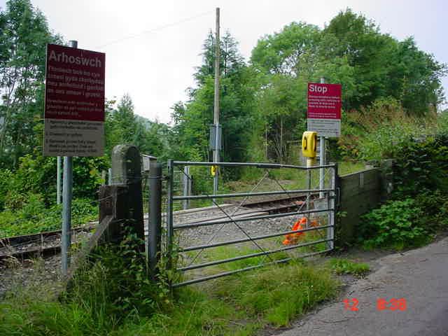
We don't yet have any user-contributed photos of Castle Gardens Level Crossing.