Latitude: 52.4566 / 52°27'23"N
Longitude: -2.8386 / 2°50'18"W
OS Eastings: 343112
OS Northings: 284620
OS Grid: SO431846
Mapcode National: GBR BD.LCV1
Mapcode Global: VH766.RJ64
Pluscode: 9C4VF546+JH
What3Words: processor.troubles.evenly
Is the location marker in the wrong place? You can help fix that!
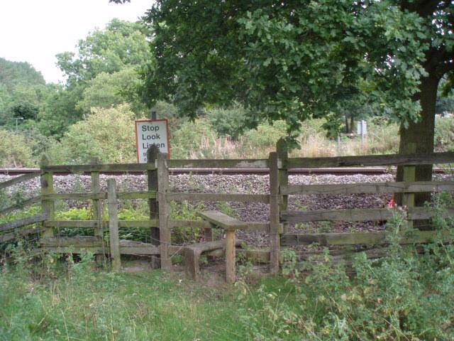
We don't yet have any user-contributed photos of Cheney Longville Level Crossing.