Latitude: 54.8186 / 54°49'6"N
Longitude: -3.1846 / 3°11'4"W
OS Eastings: 323977
OS Northings: 547725
OS Grid: NY239477
Mapcode National: GBR 6D6Q.BG
Mapcode Global: WH6Z7.14ST
Pluscode: 9C6RRR98+C5
What3Words: founding.yield.absent
Is the location marker in the wrong place? You can help fix that!
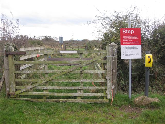
We don't yet have any user-contributed photos of Church Rigg Farm Level Crossing.