Latitude: 53.5785 / 53°34'42"N
Longitude: -3.0673 / 3°4'2"W
OS Eastings: 329431
OS Northings: 409633
OS Grid: SD294096
Mapcode National: GBR 7W01.RX
Mapcode Global: WH758.V9KZ
Pluscode: 9C5RHWHM+C3
What3Words: encounter.really.common
Is the location marker in the wrong place? You can help fix that!
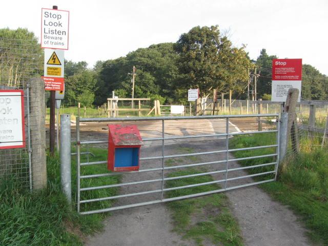
We don't yet have any user-contributed photos of Clover-le-dale Level Crossing.