Latitude: 51.3547 / 51°21'16"N
Longitude: 0.691 / 0°41'27"E
OS Eastings: 587468
OS Northings: 165175
OS Grid: TQ874651
Mapcode National: GBR QRT.1HD
Mapcode Global: VHJM3.X6NT
Pluscode: 9F329M3R+V9
What3Words: truth.hindered.strays
Is the location marker in the wrong place? You can help fix that!
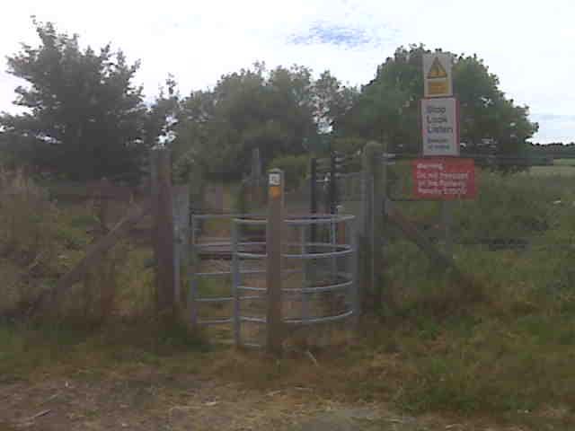
We don't yet have any user-contributed photos of Coldharbour Level Crossing.