Latitude: 51.0347 / 51°2'4"N
Longitude: -1.5509 / 1°33'3"W
OS Eastings: 431583
OS Northings: 126241
OS Grid: SU315262
Mapcode National: GBR 63G.4P5
Mapcode Global: FRA 76MC.ZJN
Pluscode: 9C3W2CMX+VJ
What3Words: pacifist.polite.subtitle
Is the location marker in the wrong place? You can help fix that!
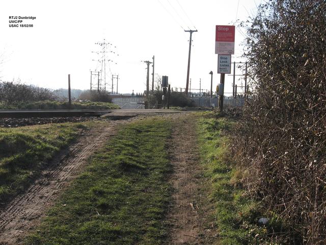
We don't yet have any user-contributed photos of Dunbridge Occupational FP Level Crossing.