Latitude: 54.4414 / 54°26'29"N
Longitude: -1.525 / 1°31'30"W
OS Eastings: 430901
OS Northings: 505213
OS Grid: NZ309052
Mapcode National: GBR KKS2.MN
Mapcode Global: WHC69.KM0J
Pluscode: 9C6WCFRF+HX
What3Words: trucks.sheepish.belt
Is the location marker in the wrong place? You can help fix that!
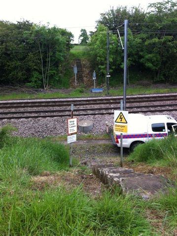
We don't yet have any user-contributed photos of East Cowton No.97 Level Crossing.